Current Solutions
Some parking garages have sensors over each parking stall to detect availability. However, this approach has high installation and maintenance costs, making it impractical and cost-prohibitive for street parking applications.
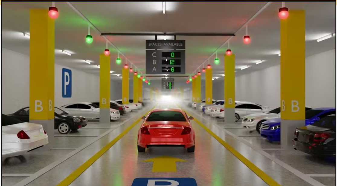
Traditional parking stall sensors - expensive and limited to garages